Sandpoint Airport & FBO
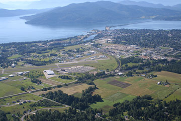
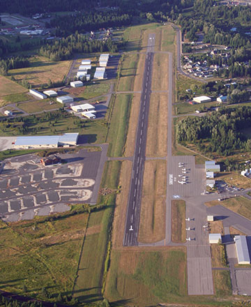
Flying into the Sandpoint Airport (SZT) is one of the most amazing flights you may ever experience with views of Lake Pend Oreille and the Selkirk Mountain Range—one of a few mountain resort airports located in the center of a town, just minutes from skiing, boating, shopping, and restaurants. Sandpoint is a public airport with a 5,501 by 75 foot asphalt runway, capable of accommodating 40,000 pounds of gross weight for single-wheel loads. The elevation is 2,131 feet and there are instrument approaches and runway edge lights.
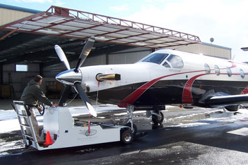
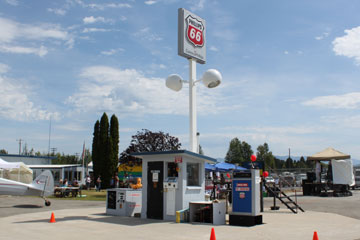
The FBO, Granite Aviation, offers both Jet-A and 100LL Avgas aviation fuel (self- and full-service) and has amenities and services including a pilot’s lounge, Hertz Car Rental, courtesy cars, catering, de-icing, hangar space, and tie-downs. Flight training and aircraft rental are also available. Please visit Granite Aviation to learn more.
Location
FAA Identifier:
Lat/Long (Est.):
Elevation:
Variation:
From city:
Time zone:
Location & Zip:
SZT
48-17-58.3000N / 116-33-36.5000W
48-17.971667N / 116-33.608333W
48.2995278 / -116.5601389
2131 ft / 649.5 m (Surveyed)
18E (1995)
2 Miles North of Sandpoint, ID
UTC -7 (UTC -8 During Standard Time)
Bonner County, ID 83864
Airport Operations
Airport Use:
Activation Date:
Sectional Chart:
Control Tower:
Boundary ARTCC:
FSS:
NOTAMs facility:
Attendance:
Wind Indicator:
Segmented Circle:
Lights:
Beacon:
Open to the Public
April, 1940
Great Falls
No
ZSE - Seattle Center
BOI - Boise Flight Service Station
SZT (NOTAM-D Service Available)
Summer 0700-1800, Winter 0800-1700
Lighted
Yes
Dusk - Dawn
ACTVT MIRL RY 01/19, PAPI & REIL RYS 01 & 19 - CTAF
White-Green (Lighted Land Airport)
Airport Communications
UNICOM:
AWOS:
AWOS:
SEA Center:
122.7
(208) 263-3074
135.425
123.95
Runway Information – Runway 1/19
Dimensions:
Surface:
Weight Bearing Cap:
Runway Edge Lights:
5501 x 75 ft / 1677 x 23 m
Asphalt, in Good Condition
Single Wheel: 40,000 lb
Medium Intensity
Latitude:
Longitude:
Elevation:
Alignment:
Gradient:
Traffic Pattern:
Runway Heading:
Markings:
Visual Slope Indicator:
Rwy End Identifier Lts:
Touchdown point:
Instrument Approach:
Runway 1
48-17.589518N
116-33.969337W
2128.3 ft
32
0.1%
Left
014 Magnetic, 032 True
Non-precision,
Fair condition
2-Light PAPI on Left
(3.75° Glide Angle)
Yes
Yes, No Lights
LOC/DME
Runway 19
48-18.355357N
116-33.247523W
2128.9 ft
127
0.1%
Left
194 Magnetic, 212 True
Non-precision,
Fair condition
2-Light PAPI on Left
(3.75° Glide Angle)
Yes
Yes, No Lights
Airport Resources
- Sandpoint FBO: Granite Aviation
- Sandpoint Airport information: AirNav and Air-Data
- Sandpoint Webcam: Sandpoint Rentals
